Toggle light / dark theme

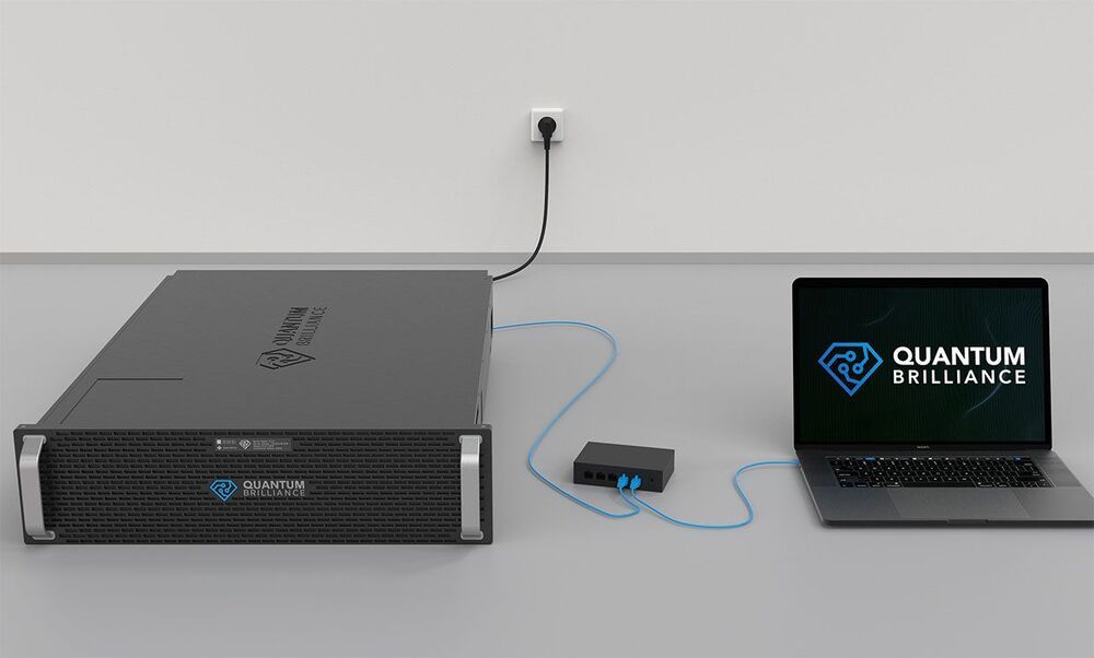
Diamond-Based Quantum Accelerator Puts #Qubits in a Server Rack.

The startup Quantum Brilliance recently announced that they have developed a market-ready, diam… See More.


Its makers envision this device growing to 50+ qubits and fitting aboard satellites, autonomous vehicles.

As they researched why the avalanche occurred with such force, researchers studying climate change pored over images taken in the days and weeks before and saw that ominous cracks had begun to form in the ice and snow. Then, scanning photos of a nearby glacier, they noticed similar crevasses forming, touching off a scramble to warn local authorities that it was also about to come crashing down.

The images of the glaciers came from a constellation of satellites no bigger than a shoebox, in orbit 280 miles up. Operated by San Francisco-based company Planet, the satellites, called Doves, weigh just over 10 pounds each and fly in “flocks” that today include 175 satellites. If one fails, the company replaces it, and as better batteries, solar arrays and cameras become available, the company updates its satellites the way Apple unveils a new iPhone.

The revolution in technology that transformed personal computing, put smart speakers in homes and gave rise to the age of artificial intelligence and machine learning is also transforming space. While rockets and human exploration get most of the attention, a quiet and often overlooked transformation has taken place in the way satellites are manufactured and operated. The result is an explosion of data and imagery from orbit.
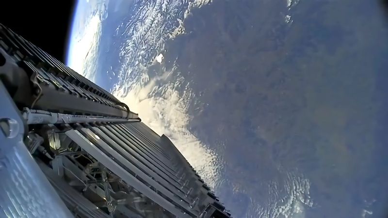
A few weeks back we brought word that Reddit users [derekcz] and [Xerbot] had managed to receive the 2232.5 MHz telemetry downlink from a Falcon 9 upper stage and pull out some interesting plain-text strings. With further software fiddling, the vehicle’s video streams were decoded, resulting in some absolutely breathtaking shots of the rocket and its payload from low Earth orbit.

Unfortunately, it looks like those heady days are now over, as [derekcz] reports the downlink from the latest Falcon 9 mission was nothing but intelligible noise. Since the hardware and software haven’t changed on his side, the only logical conclusion is that SpaceX wasn’t too happy about radio amateurs listening in on their rocket and decided to employ some form of encryption.

Since this data has apparently been broadcast out in the clear for nearly a decade before anyone on the ground noticed, it’s easy to see this as an overreaction. After all, what’s the harm in a few geeks with hacked together antennas getting a peek at a stack of Starlink satellites? [derekcz] even mused that allowing hobbyists to capture these space views might earn the company some positive buzz, something Elon Musk never seems to get enough of.

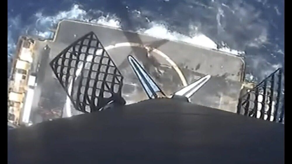
SpaceX’s Falcon 9 first stage landed on the “Of Course I Still Love You” drone ship in the Atlantic Ocean on April 7, 2021 shortly after launching 60 Starlink satellites. It was the “79th recovery of a orbital-class rocket,” according to SpaceX. See the rocket launch: https://www.space.com/spacex-starlink-23-satellite-mission-launch-rocket-landing.

Credit: SpaceX

HELSINKI — Guangzhou is developing a major space cluster in the city by hosting new projects including the new headquarters for the space business of Geely Technology Group.

Geely, a major automaker which owns Volvo Cars and part of Daimler AG, is to establish a space headquarters in Nansha district to oversee development of its satellite and communications technologies, local government said March 30.

Geely is developing a low Earth orbit constellation for navigation, connectivity and communications needed for self-driving cars. The group recently gained approval to begin manufacturing satellites.

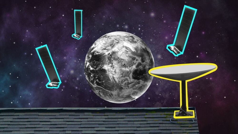
SpaceX’s new Starlink satellite internet service is being touted as a rural internet game changer. WSJ spent time with a few beta testers in a very remote area of Washington state to see if it’s truly the solution to the global broadband gap. Photo Illustration: Laura Kammermann.

The eruption of Iceland’s Fagradalsfjall volcano is so vibrant it can be seen from space, and satellites orbiting hundreds of miles above the ground have captured images of the eruption from orbit.

Using data from the Operational Land Imager on NASA and the U.S. Geological Survey’s Landsat 8 satellite, NASA data visualizer Joshua Stevens pieced together a false-color image of the eruption. The image shows the eruption at 10:25 p.m. local time (2225 GMT) on March 22, three days after it started on March 19.

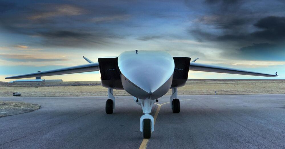
Satellite delivery isn’t exactly cutting-edge tech these days. Lately it feels like SpaceX is doing that every week. Liftoff usually starts with a ground-based rocket, which is expensive and time-consuming to launch. Aevum believes its massive Ravn X drone can do it better, for less money.

At 80 feet long and 18 feet tall, the Ravn X is the world’s biggest drone, says Aevum. Driven by Aevum’s proprietary software, the drone would fly itself to a specified altitude, where it would launch a rocket to deliver a payload of small satellites to low Earth orbit. Click the video above for more on the delivery process.

The launch system is 70% reusable, Aevum said. CEO Jay Skylus hopes to get that close to 100%.