Toggle light / dark theme

The military’s primary advanced research shop wants to be a leader in the “third wave” of artificial intelligence and is looking at new methods of visually tracking objects using significantly less power while producing results that are 10-times more accurate.

The Defense Advanced Research Projects Agency, or DARPA, has been instrumental in many of the most important breakthroughs in modern technology—from the first computer networks to early AI research.

“DARPA-funded R&D enabled some of the first successes in AI, such as expert systems and search, and more recently has advanced machine learning algorithms and hardware,” according to a notice for an upcoming opportunity.

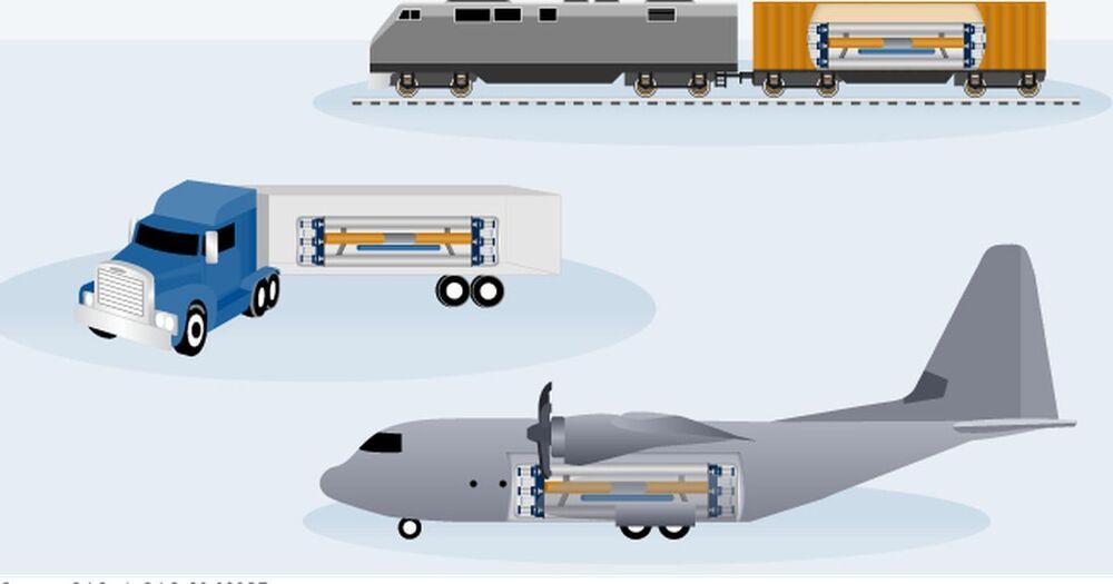
The two companies, along with Westinghouse Government Services, were each given preliminary contracts of less than $15 million in March 2020 to begin design work. The final design is due to the Strategic Capabilities Office in 2022, at which point the Defense Department will make a decision on whether to move forward with testing the systems.

“We are thrilled with the progress our industrial partners have made on their designs,” Jeff Waksman, Project Pele’s program manager, said in a statement. “We are confident that by early 2022 we will have two engineering designs matured to a sufficient state that we will be able to determine suitability for possible construction and testing.”

The Pentagon has long eyed nuclear power as a potential way to reduce both its energy cost and its vulnerability in its dependence on local energy grids. According to a news release, the Defense Department uses “approximately 30 Terawatt-hours of electricity per year and more than 10 million gallons of fuel per day.”

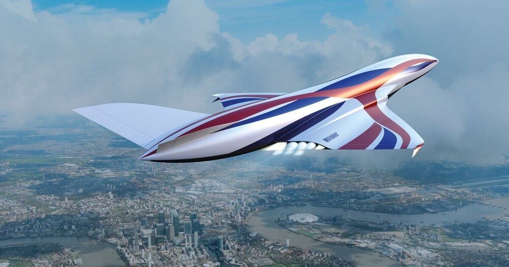
This is all thanks to automation and robotics, which is bringing in the age of unmanned warfare — towards a world where men won’t sacrifice their lives on the battlefield. And that’s why, a Singapore-based aviation company has unveiled the world’s first supersonic unmanned aircraft.

Reported first by DailyMail, this UAV drone (which has been named ‘Arrow’) is developed by Singapore-based Kelley Aerospace. The aircraft can touch speeds up to Mach 2.1 — more than twice the speed of sound.

The supersonic aircraft is roughly 16.8 tons in weight, but its carbon fibre monocoque design that it possesses helps it to sport strength and stiffness, as per the company’s claims. Its body is also equipped with a reduced radar cross-section and infrared signature to make sure it doesn’t grab the attention of the enemies.

Microgrids can connect and disconnect from the grid. By operating on normal “blue-sky” operating days as well as during emergencies, microgrids provide uninterrupted power when the grid goes down — and reduce grid constraints and energy costs when grid-connected. Previously the sole domain of military bases and universities, microgrids are growing 15% annually, reaching an $18 billion market in the U.S. by 2022.

For grid resiliency and reliable power supply, there is no better solution than community-scale microgrids that connect critical infrastructure facilities with nearby residential and commercial loads. Funding feasibility studies and audit-grade designs — so that communities have zero-cost but high-quality pathways to constructable projects, as New York State did with the NY Prize initiative — is a proven way to involve communities in their energy planning and engage the private sector in building low-carbon resilient energy systems.

Unpredictability and complexity are quickening, and technology has its place, but not simply as an individual safeguard or false security blanket. Instead, technology should be used to better calculate risk, increase system resilience, improve infrastructure durability and strengthen the bonds between people in a community both during and in between emergencies.

Japan’s space agency wants to keep the satellite’s cameras out of military hands.


An unusual geopolitical situation is brewing aboard the International Space Station. Prior to the military coup in Myanmar earlier this year, Japan’s space agency JAXA had been collaborating with the country to build microsatellites that it planned to deploy in partnership with Myanmar’s government.

Now, JAXA has no idea what to do with the pair of 50-kilogram satellites, according to SlashGear. And while Japanese scientists hope to bring the agriculture and fishery-monitoring satellites to life, they’re currently holding them on the ISS instead of deploying them out of fear they might be misused for military purposes — a striking example of real-world geopolitics spilling over into space.

After the military coup in Myanmar, Teppei Kasai, the Asia program director for the group Human Rights Watch noted that it would be relatively straightforward to use the satellites’ Earth-facing cameras for military or surveillance purposes, according to SlashGear.

WASHINGTON — Stefanie Tompkins on March 15 assumed the top post at the Defense Advanced Research Projects Agency.

Tompkins is DARPA’s 23rd director.

She is a former military intelligence officer in the U.S. Army and previously worked at DARPA for nearly a decade. From 2007 until 2017 Tompkins served as program manager and deputy director of the agency’s Strategic Technology Office, DARPA chief of staff, as director of the Defense Sciences Office and as the acting deputy director of the agency.

Circa 2010


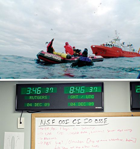
About 48 kilometers off the eastern coast of the United States, scientists from Rutgers, the State University of New Jersey, peered over the side of a small research vessel, the Arabella. They had just launched RU27, a 2-meter-long oceanographic probe shaped like a torpedo with wings. Although it sported a bright yellow paint job for good visibility, it was unclear whether anyone would ever see this underwater robot again. Its mission, simply put, was to cross the Atlantic before its batteries gave out.

Unlike other underwater drones, RU27 and its kin are able to travel without the aid of a propeller. Instead, they move up and down through the top 100 to 200 meters of seawater by adjusting their buoyancy while gliding forward using their swept-back wings. With this strategy, they can go a remarkably long way on a remarkably small amount of energy.

When submerged and thus out of radio contact, RU27 steered itself with the aid of sensors that registered depth, heading, and angle from the horizontal. From those inputs, it could dead reckon about where it had glided since its last GPS navigational fix: Every 8 hours the probe broke the surface and briefly stuck its tail in the air, which exposed its GPS antenna as well as the antenna of an Iridium satellite modem. This allowed the vehicle to contact its operators, who were located in New Brunswick, N.J., in the Rutgers Coastal Ocean Observation Lab, or COOL Room.