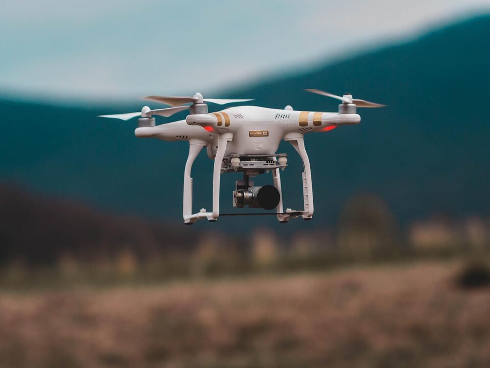
The future of package delivery, taxis, and even takeout in cities may be in the air—above the gridlocked streets. But before a pizza-delivery drone can land safely on your doorstep, the operators of these urban aircraft will need extremely high-resolution forecasts that can predict how weather and buildings interact to create turbulence and the resulting impacts on drones and other small aerial vehicles.
While scientists have been able to run simulations that capture the bewilderingly complex flow of air around buildings in the urban landscape, this process can take days or even weeks on a supercomputing system—a timeline far too slow (and a task far too computationally expensive) to be useful to daily weather forecasters.
Now, scientists at the National Center for Atmospheric Research (NCAR) have demonstrated that a new kind of model built entirely to run on graphical processing units, or GPUs, has the potential to produce useful, street-level forecasts of atmospheric flow in urban areas using far fewer computing resources and on a timeline that makes real-time weather forecasting for drones and other urban aircraft plausible.
