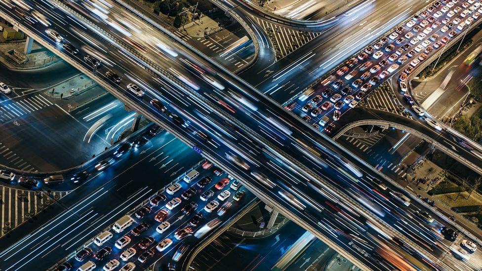
Today’s world is one big maze, connected by layers of concrete and asphalt that afford us the luxury of navigation by vehicle. For many of our road-related advancements — GPS lets us fire fewer neurons thanks to map apps, cameras alert us to potentially costly scrapes and scratches, and electric autonomous cars have lower fuel costs — our safety measures haven’t quite caught up. We still rely on a steady diet of traffic signals, trust, and the steel surrounding us to safely get from point A to point B.
“If people can use the risk map to identify potentially high-risk road segments, they can take action in advance to reduce the risk of trips they take. Apps like Waze and Apple Maps have incident feature tools, but we’re trying to get ahead of the crashes — before they happen,” says He.
Full Story:
A deep model was trained on historical crash data, road maps, satellite imagery, and GPS to enable high-resolution crash maps that could lead to safer roads.