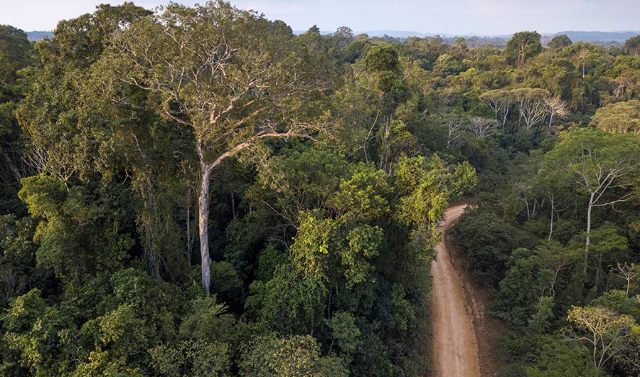
(Inside Science) — It took years of painstaking work for Carlos Souza and his colleagues to map out every road in the Brazilian Amazon biome. Official maps of the 4.2 million-square-kilometer region only show roads built by federal and local governments. But by carefully tracing lines on satellite images, the researchers concluded in 2016 that the true length of all the roads combined was nearly 13 times higher.
“When we don’t have a good understanding of how much roadless areas we have on the landscape, we probably will misguide any conservation plans for that territory,” said Souza, a geographer at a Brazil-based environmental nonprofit organization called Imazon.
Now, Imazon researchers have built an artificial intelligence algorithm to find such roads automatically. Currently, the algorithm is reaching about 70% accuracy, which rises to 87%-90% with some additional automated processing, said Souza. Analysts then confirm potential roads by examining the satellite images. Souza presented the research last month at a virtual meeting of the American Geophysical Union.
