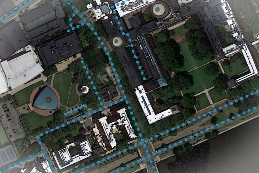
In-car satnav systems and mobile mapping apps have made it much easier to travel from one place to another without getting lost, but a new innovation promises to help fix a remaining pain point – getting in the right lane at intersections.
Today’s mapping apps aren’t always much help if you’re at an unfamiliar intersection and aren’t sure exactly where on the road your car is supposed to be: the apps often don’t have the detail or the knowledge to warn you in good time about changing lanes.
The system developed by researchers at MIT and the Qatar Computing Research Institute uses satellite imagery to augment existing mapping data, but the smart part is applying artificial intelligence to work out the layout of roads hidden by trees and buildings.
