Yellowstone Caldera Chronicles is a weekly column written by scientists and collaborators of the Yellowstone Volcano Observatory. This week’s contribution is from Beth Bartel and Tim Dittman, from the non-profit UNAVCO consortium in Boulder, Colorado.
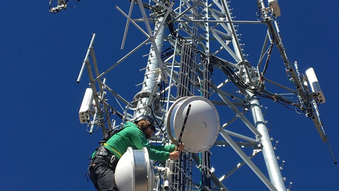
About 18 miles west of the Yellowstone National Park boundary in Idaho, UNAVCO field engineer Tom Lyman surveys the damage at GPS station P361 on Sawtell Peak. This is an important site, not only because it is located close to active faults in the Yellowstone region, but also because it serves as a data relay for four additional nearby GPS stations. None of the GPS equipment is transmitting data.
UNAVCO, a member of the Yellowstone Volcano Observatory consortium, is responsible for maintaining the deformation network in and around Yellowstone. In Yellowstone National Park alone this network includes 14 GPS stations and six borehole geophysics stations. All the data are free and open access.
