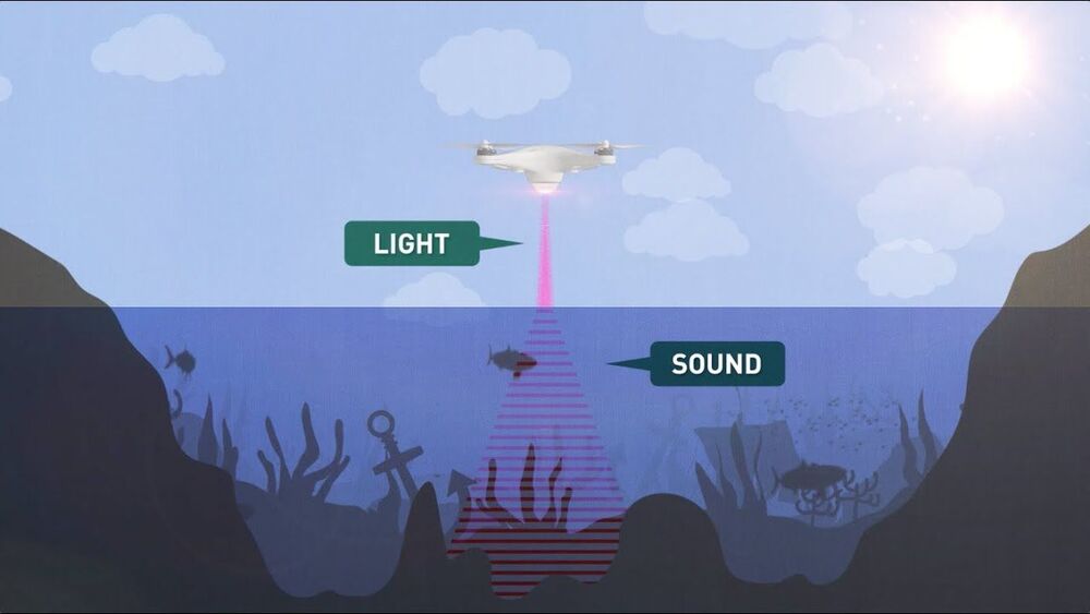
Radar and LiDAR have been incredibly quick and effective tools for mapping and surveying the Earth’s surface from aircraft and satellites, but while they can deliver accurate readings through cloud and even forest canopy cover, they can’t tell you what’s below the surface of the sea. Seawater absorbs far too much of the signal.
Sonar remains the most effective way to map out the sea floor – but the vast majority of the oceans that form 70 percent of the Earth’s surface remain unmapped, because sonic waves have hitherto only been able to be sent out from underwater. Sound waves sent from air into water lose more than 99.9 percent of their energy in the translation; it’s why the outside world goes so wonderfully silent when you dive down to the bottom of the pool. The meagre remaining 0.1 percent of the energy does create a sonar signal, but that loses a further 99.9 percent of its energy upon coming back up from the water into the air.
Sonar is commonly used for submarine detection, among other things, by military forces the world over, chiefly using devices on the undersides of ships. But the closest things thus far to an airborne sonar system are “dippers” like Thales’ FLASH system; low-frequency, wide-band sonar systems that dangle from cables out the bottom of helicopters and dip into the sea below like noisy teabags. These methods are slow, expensive, and no good at covering large areas.
